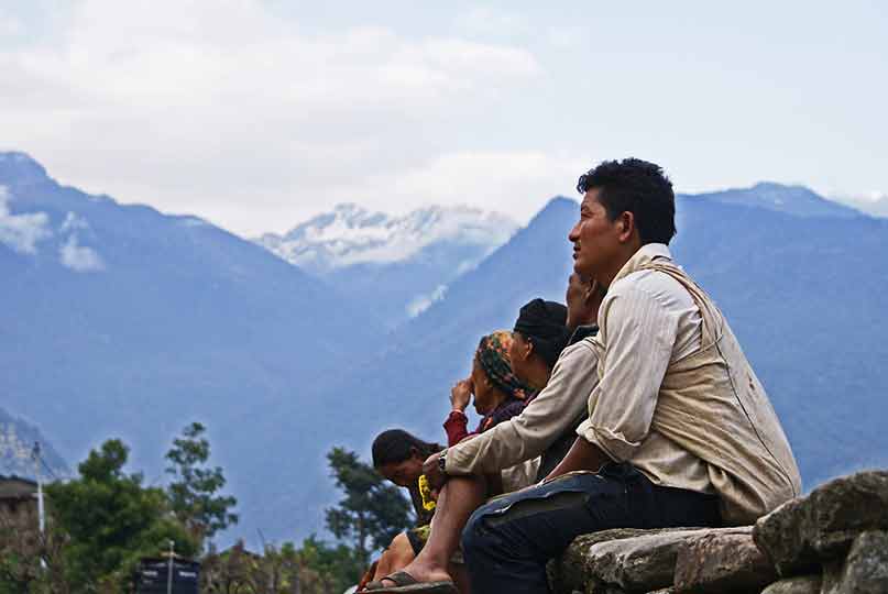
Himalaya The Mountain of Life

This is the highest mountain system on earth, the name Himalaya means the House of Snow and it consists of several parallel mountain ranges. 30 to 50 million years in different stages the Indian Plate has collided with the Eurasian Continental Plate to form the Himalaya Mountains. The Himalaya system is the most common type of mountain formation, folded. They are created by tectonic plates pushing against each other and the only direction for these earth to move is up.
The mountains nearly extend 1,600-miles in an ellipse across southern Asia from the bend of the Indus River in the northwest to the Brahmapytra in the east. They form a barrier that . The Himalaya system, averaging 200 to 250 miles in width, rises sharply from the Indo-Gangetic Plain and separates northern India from the plateau of Tibet, in China. The Himalayas form the earths highest mountain region, containing 9 of the 14 highest peaks in the world.
IN 1807 a Survey detachment was deputed by the Surveyor General of Bengal to explore the source of the Ganges: this was the first expedition to the Himalaya undertaken for purely geographical purposes. Two hundred years have now elapsed, during which geographical and geological information has been steadily accumulating and we have at length reached a stage where there is danger of losing our way in a maze of unclassified detail: it is therefore desirable to review our present position, to co-ordinate our varied observations and to see how far we have progressed and what directions appear favorable for future lines of advance.
First we look at a paper that originated in a proposal submitted by the Survey of India to the Board of Scientific Advice at the meeting of the latter in May 1906.


